ALONGSIDE THE TAGUS
Distance: 14,6 km Round Trip; Duration: 3h;
Degree of Difficulty: Easy
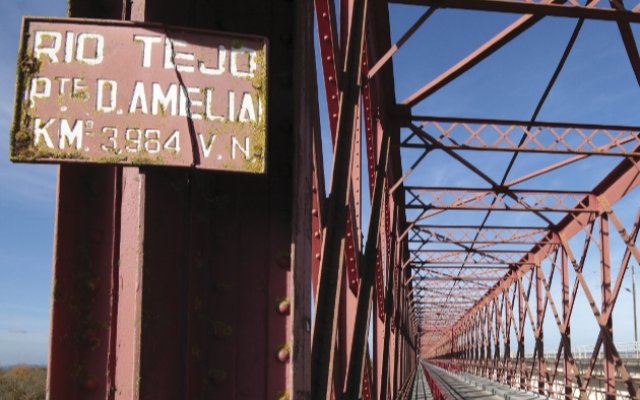
Trail departure point: Square next to the Rainha Dona Amélia Bridge
Coordinates: 39.106994, -8.738627
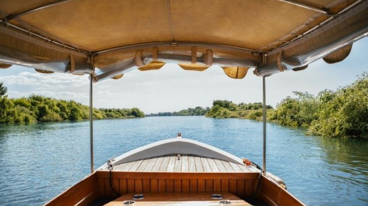
A linear itinerary along the banks of the largest Iberian river. The Tagus rises in Spain in the Albarracín Mountains in the Aragon region and flows into the Atlantic 1,000 kilometres farther on. Its hydrographical basin is the third largest on the peninsula, surpassed only by the Douro and Ebris rivers. According to Silius Italicus, a Roman poet, Tagus was the name of an Iberian king who was cruelly assassinated by Hasdrubal, commander of the Carthaginian army in Hispania. In Portugal, the river has various tributaries: on the left bank, the Sever, Sorraia and Almansôr rivers; and on the right bank, the Erges, Ponsul, Ocreza, Zêzere, Alviela and Maior rivers. Since the early days of his existence, man has felt the need to live near rivers because they were important means of communication, a source of food and they supplied water to the local populations. Along this trail we can see three distinct residential clusters.
The trail begins in the town of Porto de Muge, on the dyke near the Rainha Dona Amélia Bridge and heads downstream, always parallel to the river, passing the villages of Valada and Reguengo, ending at the Avieira community of Palhota.
The dyke is a work of hydraulic engineering that serves to hold back the water during the river’s frequent floods. This part was nicknamed Tapada (covering) by the people, seeing as it covered the passage of the water. This riverside trail is also known as the "Tapada Route.” For the first part of the route, always walk along the dyke for two kilometres; some parts are paved and others go through the vegetation. When you come to a fence blocking the way, go around on the right, following the dirt road for 200 metres. Once you pass the dyke cross the road and once again take the path over the dyke, continuing for 900 metres until you On this part of the route, you may be able to spotsome ospreys (Pandion haliaetus); these birds mainly feed on fish that they are able to catch from the waters of the river while in flight. On the horizon you can see the steeple of the Igreja Matriz (Main Church) of Valada; the original construction dates back to the 13th century, the year 1211 to be precise, during the reign of King D. Afonso II. It was built in honour of Our Lady of the Expectation, the patron saint, and its interior contains a nave with a wooden ceiling and a baptismal font from the 1500s. The sacristy contains an image of Our Lady of the Expectation. The altarpiece is in the Renaissance style and consists of four paintings dedicated to the Annunciation, Visitation, Adoration of the Angels and Presentation in the Temple.
Keep going straight ahead along the dyke for 600 metres, crossing the entire village. On your left side you have the riverfront and on the opposite side you have the built-up part of the village. When you come to a cobblestone road that crosses the dyke, turn right and then left, going along the shoulder of the road for 500 metres until you come across a dirt road on your left. Here, get back on to the path along the dyke, always going straight ahead for another 1,400 metres; when you reach the village of Reguengo, the road will fork into two asphalted roads. Go straight ahead for another 100 metres, cross the road and then go down an access ramp on to a street that follows the main road, very narrow in this section.
At the end of the street that takes you alongside the traditional houses, some 200 metres ahead, climb a set of stairs, cross the road and the building in front and keep going straight ahead on the dirt road. After about 1,500 metres you will reach the hamlet of Palhota, famed for its typical colourful houses, known as the Avieira Houses. The village was established by families from Vieira de Leiria, who came here in search of a livelihood.
This movement was initially only seasonal but then, over the 20th century, families began settling along the banks of the Tagus. They adapted their ocean boats to river boats and the vessels took on the name bateira. Here, both men and women worked in fishery. The women were responsible for rowing and steering the boat, while the men took care of the nets, launching and collecting the gear. This hamlet was previously established on a sandbank of the Tagus River, which was known as the Mouchão das Casas Altas, and is one of the most important legacies of human presence near the great river.
In all, there are no more than 15 or so houses in the cluster, set out in two parallel rows along the Tagus and separated by a dirt road known as the Rua Principal. These houses impart a powerful image of architectural identity on the Avieira culture, a testament to a way of life that is going extinct.
Conclude the visit by touring the dock, enjoy the shade of the willow trees, the view of the river and prepare to make your return via the same itinerary that brought you here.


